Greenbie Natural Area
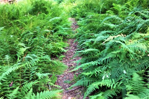
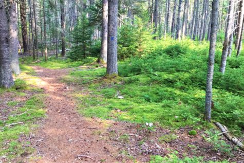
This 43 acre property includes a stone wall lined field along The Shore Road/Route 166, adjacent to the parking area and the woods beyond. A walking trail begins at the wood’s edge and continues to the back of the property (roughly 0.5 miles). The trail ends at the edge of a beaver flowage. The trail goes through a variety of soft, hard and mixed woods with interesting ground cover, and crosses two seasonal small streams. A number of trees along the trail are well over a hundred years old.

Trail Map

Click Here to Download Trail Map
Location and Parking
FROM BUCKSPORT/ORLAND-Take Route 175/176 south from Orland, and continue on 166 (formerly 166A) after 175 turns left in Penobscot. At the junction of 166 and 166A, turn right onto The Shore Road/166 and go about two miles. The parking area is on the left, just after a large green transformer box.
FROM BLUE HILL/PENOBSCOT- Take Route 175 Northwest towards Route 199 from Penobscot, and continue on 199 after 175 turns right towards Orland. At the junction of 199 and Castine Road/166A (formerly 166) take a left towards Castine. At the junction of The Shore Road/166 and Castine Road/166A, turn right onto The Shore Road/166 (formerly 166A) and go about 1.6 miles, just past the Transfer Station. The parking area is on the right, just before a large green transformer box.
Use Guidelines
- Please stay on marked trails.
- Carry out what you take in.
- Fires are not permitted.
- Dogs must be leashed.
- Foot traffic only.
Blue Hill Heritage Trust holds a conservation easement on this property, which is owned by the Town of Castine.