Maude E. and Eugene Snow Natural Area
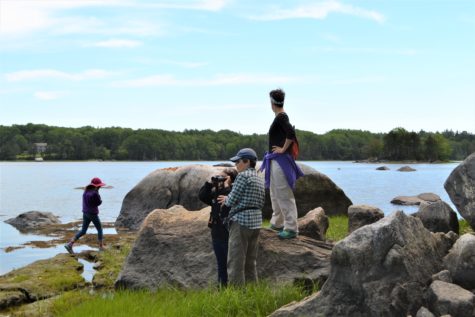
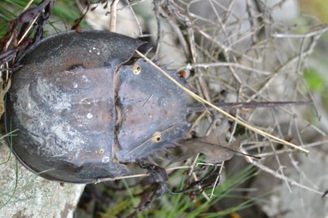
This is a 40 acre parcel with over 2,550 feet of shorefront on the Bagaduce River. The Bagaduce is one of only four estuary systems in Maine supporting a horseshoe crab population; look for these primeval crabs along the Snow Natural Area shore. Just east of the Snow Natural Area is Bagaduce Falls, a “reversing tidal rapid.” The Bagaduce River is tidal, flowing in two different directions depending on the tide. Water forced through the narrows at the Bagaduce Bridge results in wave trains that are exciting canoe runs when the tide is right. A unique population of pygmy alewives (a small anadromous fish) passes by the Snow Natural Area on its way to spawning grounds in Walker Pond. Seal sightings are common here. Just west of the Snow property in Green Cove is a major seal pupping ledge. Bald eagles abound on the Bagaduce–with a nesting site nearby, look for them overhead.
This parcel even comes with its own island. Nab Island is so small that until recently it was not recognized on any state maps or deeds. It is accessible at low tide (not for very long–don’t get stranded), but we ask that you use extreme caution when exploring Nab Island. Small islands are extremely fragile systems; they are easily irreparably damaged.
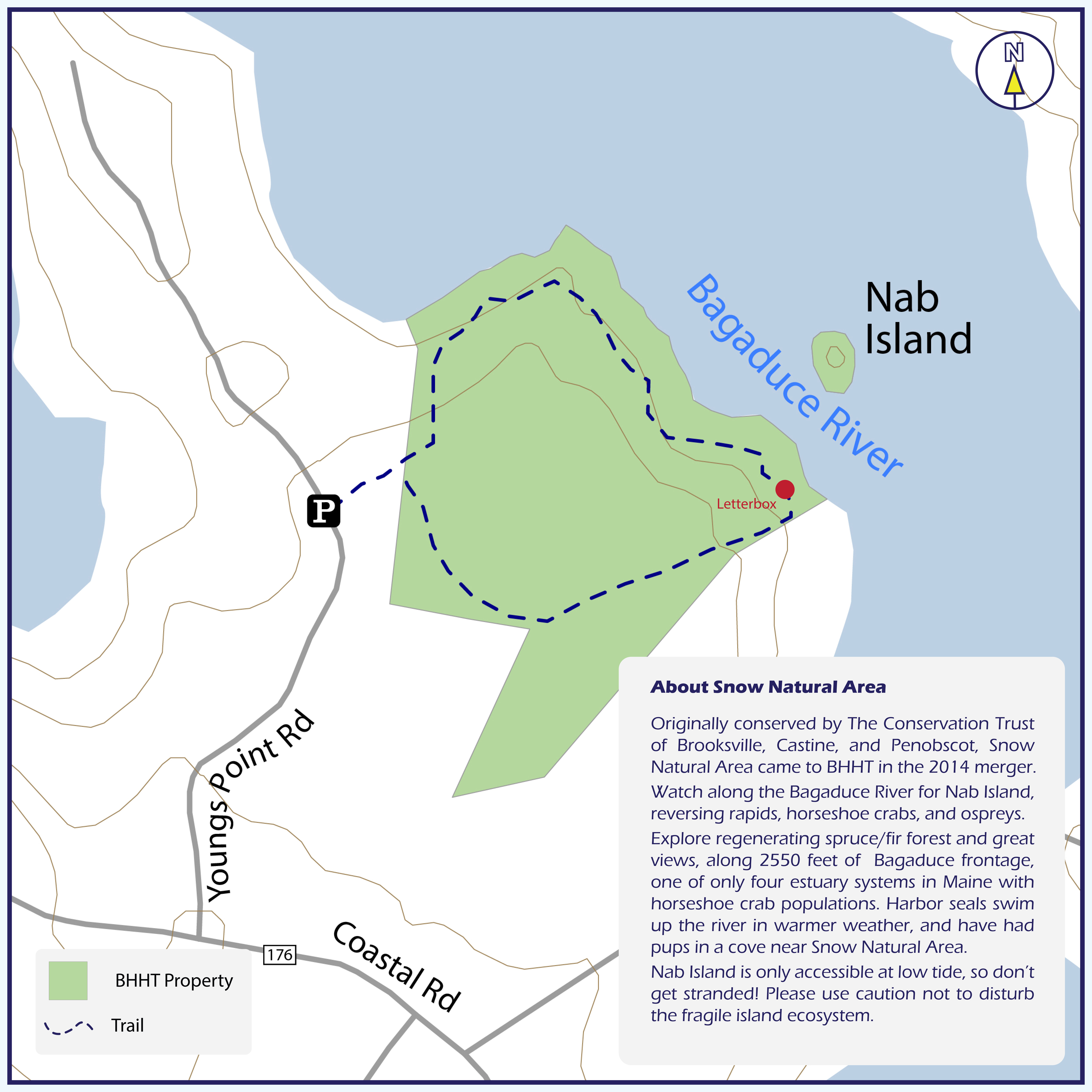
Trail Map
Click Here to Download Trail Map
Location and Parking
Snow Natural Area (Brooksville): Cross the Bagaduce Reversing Falls Bridge on Route 175/176. At the stop sign, take a right and go 0.25 miles onto Young’s Point Road. When the road forks, bear to the right. Look for a small parking area on the right marked by a Blue Hill Heritage Trust sign. Please do not park on the road. A right of way leads from the parking area into the Natural Area. Please stay on the trail.
Use Guidelines
- Please stay on marked trails.
- Carry out what you take in.
- Fires are not permitted.
- Dogs must be leashed.
- Foot traffic only.


